GOOGLE MAPS may be used for more than just current travel information; it can also be used to take a journey down memory lane. The precise site of the Titanic has been discovered, just in time for the 100th anniversary of the White Star Line’s cruise liner catastrophe in 1912.The Titanic’s terrible narrative has been brought to light thanks to Google Maps. Prior to the 107th anniversary of the ship’s sinking on April 15, 2019, the exact positions of the ill-fated liner’s wreckage have been located. History buffs will undoubtedly be interested in seeing the ship’s last resting place. In 1912, the Titanic sank after hitting with an iceberg while sailing from Southampton to New York. On April 15, 1912, at 2:20 a.m., the British ocean liner Titanic sinks about 400 miles south of Newfoundland, Canada, in the North Atlantic Ocean.
It’s common knowledge that the Titanic sank after colliding with an iceberg, but you might not know where it sank. When the Titanic sank beneath the waves, where precisely was she? What was her last stopover? What was her destination? When she sunk, how far away was she from her eventual destination?
When Did the Titanic Sink?
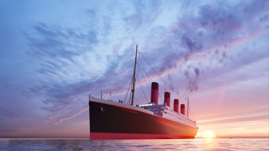
On April 10th, 1912, the Titanic set sail on her maiden journey. The ship struck with an iceberg only a few days later. She fell beneath the frigid waves of the North Atlantic (which were around 28° F) sometime in the early morning hours of April 15th. Over 1,500 passengers and crew members died, including the captain. It took years for archaeologists to discover the Titanic’s wreckage. She was last spotted in September 1985, when researchers aboard the vessel Knorr discovered wreckage from the ship’s boilers.
Where Was the Titanic Found?
The Titanic’s ultimate resting site was far from the area of her last distress call, which originally hampered research efforts. Dr. Robert Ballard discovered the first fragments of the destroyed vessel 13 miles southeast of the location of the final distress call after a lengthy search. The Titanic, as it turned out, sank in the North Atlantic Ocean some 400 miles (640 kilometers) southeast of Newfoundland’s coast. The ship’s bow was discovered at 41°43’57” N, 49°56’49” W, and the stern at 41°43’35” N, 49°56’54” W.

An iceberg with a red streak of paint along its base was found on April 15th, 1912, close to where the Titanic sank some 12 hours earlier.
Where Was the Titanic Going?
The Titanic set off from Southampton, England, bound for Cherbourg, France. The Titanic traveled from Cherbourg to Cobh (then known as Queenstown), Ireland. The Titanic made her maiden trip across the Atlantic after departing Cobh, her penultimate port of call, on her way to New York, USA.
How Far Was the Titanic From Her Destination When She Sank?
The Titanic had already completed more than half of her trip from Cobh when she crashed with the iceberg, and was scheduled to arrive at Pier 59 in New York on April 17th, 1912. Approximately 1000 miles from New York, the ill-fated trek over the frigid waters came to an end. When the Titanic collided with the drifting block of ice that killed her, she was only a few hours away from the Lightship Ambrose and only approximately 375 miles due south of Newfoundland.